
Points and Lines within a Model can be exported to Google KML from the File\Export Menu of a Model window.
When exporting you will be prompted with this window which allows you to choose which grid co-ordinates system you would like to use. UK and Irish Grid are both pre-specified systems which don't need a specific EPSG number. Other allows you to choose an EPSG number to translate your Co-Ordinates system to Latitude and Longitude.
Please note that the accuracy of the XYZ model data once converted into latitude and longitude, lining up exactly with the Google Geoid can not be guaranteed. It is very possible that due to different grid and projection systems, results will vary greatly in their ability to tie in well with Google Earth.
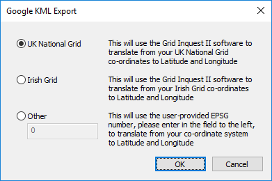
If you are unsure about your ESPG number go to espg.io to find out.
Google earth is not suitable to view large data sets, so it's advised that no more than 2000 or so points are exported, unless they are distributed over a large area as the points will overlap and become unreadable.
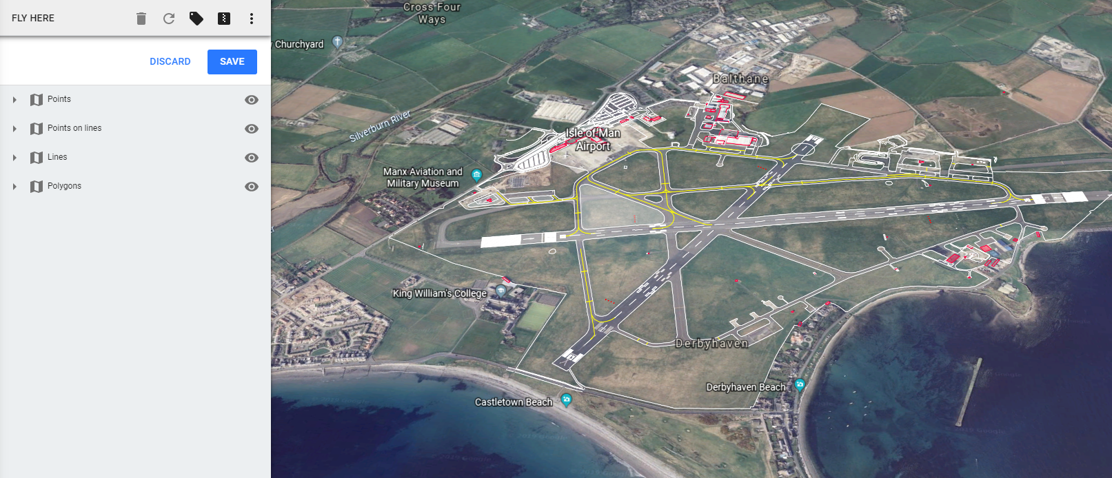
When the model is sent out to KML, 4 categories of detail are generated within the file to help make the output clearer inside the Goggle earth application. These are...
- Points: Single point objects, such as Spot levels, or points that make shapes or symbols
- Points on Lines: Points that are used to make linework such as Kerbs or Batters.
- Lines: Linework such as Kerbs, Batters etc...
- Polygon Fills: Shaded fills of closed features.
- Polygon Lines: Closed features such as Building lines.
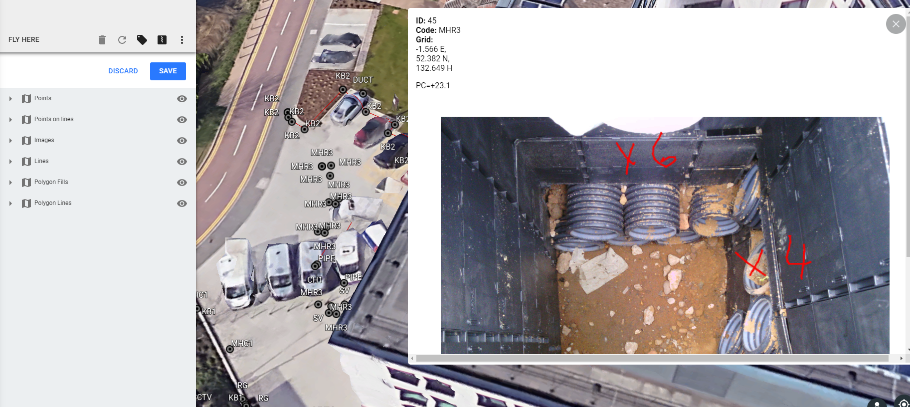
Clicking on a point marker in the view will bring up a box displaying the points attributes,
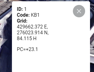
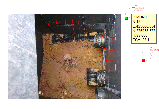
Any point with an image attached, will be exported such that the image is included within the KML file. This leads to larger files, but means that satellite images do not have to he sent along with the file when sharing the data with others.
Comments
0 comments
Please sign in to leave a comment.